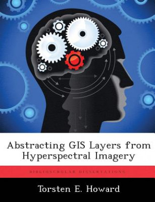
Книга Abstracting GIS Layers from Hyperspectral Imagery Torsten E Howard

Abstracting GIS Layers from Hyperspectral Imagery

Автор: Torsten E Howard
Език: Английски език
Корици: С меки корици
Издател: Biblioscholar
Наличност: Външен склад
Изпращаме след 14-21 дни
18.69 36.55 лв
Modern warfare methods in the urban environment necessitates the use of multiple layers of sensors t...


Информация за книгата

Автор
Език
Английски език
Корици
Книга - С меки корици
Издадена
2012
страници
158
EAN
9781288316441
ISBN
9781288316441
Enbook ID
08243263
Издател
Теглоt
295
Размери
189 x 246 x 9

Пълно описание

Modern warfare methods in the urban environment necessitates the use of multiple layers of sensors to manage the battle space. Hyperspectral imagers are one possible sensor modality to provide remotely sensed images that can be converted into Geographic Information Systems (GIS) layers. GIS layers abstract knowledge of roads, buildings, and scene content and contain shape files that outline and highlight scene features. Creating shape files is a labor-intensive and time-consuming process. The availability of shape files that reflect the current configuration of the area of interest significantly enhances Intelligence Preparation of the Battlespace (IPB). The solution presented in this thesis is a novel process to automate the creation of shape files by exploiting the spectral-spatial relationship of a hyperspectral image cube. It is assumed that "a-priori" endmember spectra, a spectral database, or specific scene knowledge is not available. The topological neighborhood of a Self Organizing Map (SOM) is segmented and used as a spectral filter to produce six initial object maps that are spatially processed with logical and morphological operations. A novel road finding algorithm connects road segments under significantly tree-occluded roadways into a contiguous road network. The manual abstraction of GIS shape files is improved into a semi-automated process. The resulting shape files are not susceptible to deviation from orthorectified imagery as they are produced directly from the hyperspectral imagery. The results are eight separate high-quality GIS layers (Vegetation, Non-Tree Vegetation, Trees, Fields, Buildings, Major Buildings, Roadways, and Parking Areas) that follow the terrain of the hyperspectral image and are separately and automatically labeled.

Може също да ви хареса

137.45 268.83 лв
194.23 379.89 лв

Born to Run

Christopher McDougall
11.99 23.45 лв
9.64 18.86 лв
11.84 23.16 лв

Thelemic Qabalah: Volume III

Paul Joseph Rovelli
23.04 45.06 лв

Клиенти, които купиха тази книга, купиха също

Bouvard et Pécuchet

Gustave Flaubert
13.44 26.29 лв
10.24 20.03 лв
141.40 276.55 лв

L'Autriche juive

François Trocase
17.39 34.01 лв