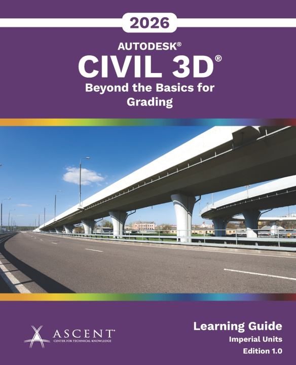
The Autodesk® Civil 3D® 2026 software enables the creation of intelligent relationships between objects to support various civil engineering tasks. Autodesk® Civil 3D® 2026: Beyond the Basics for Grading intended for users who create or manage site grading plans using Autodesk Civil 3D.
The topics cover the use of feature lines, grading tools, and corridors to design a commercial site, which includes a parking lot, building pads, pond, and a simple sewage lagoon. A road is included in the survey, with existing conditions collected by a survey team. The practice exercises allow you to practice grading the lots in a small residential subdivision.
The course content assumes that the existing conditions have already been processed. To learn how to create these existing conditions, refer to the content in Autodesk® Civil 3D® 2026: Essentials for Surveyors.
Topics Covered
Prerequisites